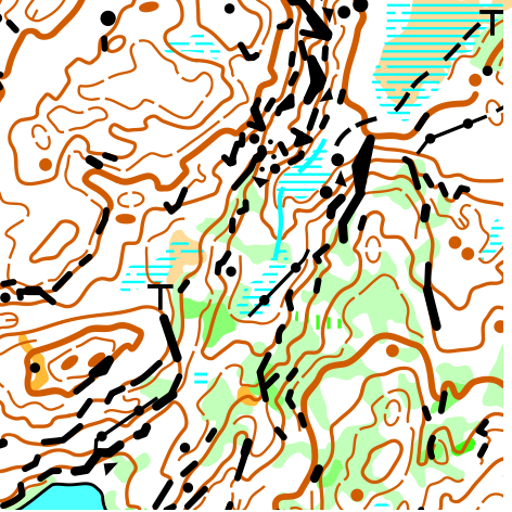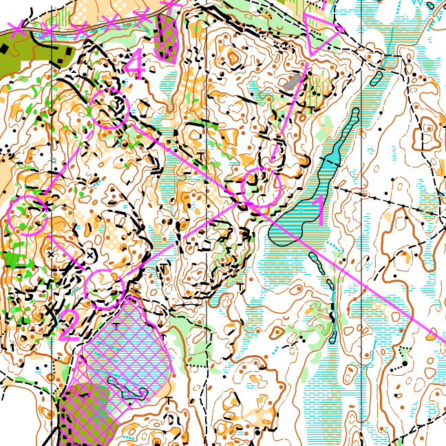

O-Ringen Göteborg, etapp 1, lång
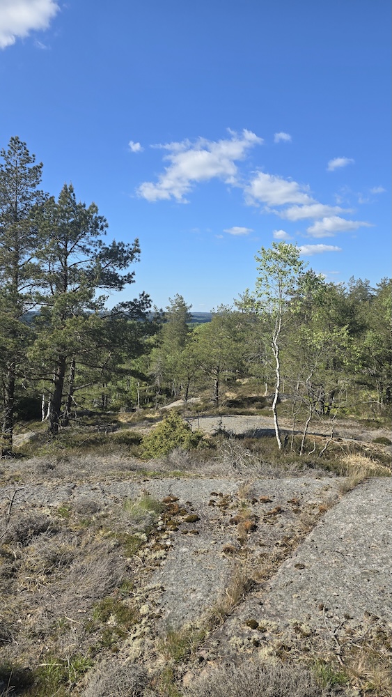
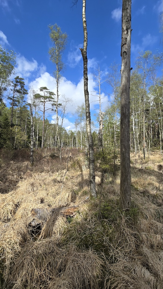
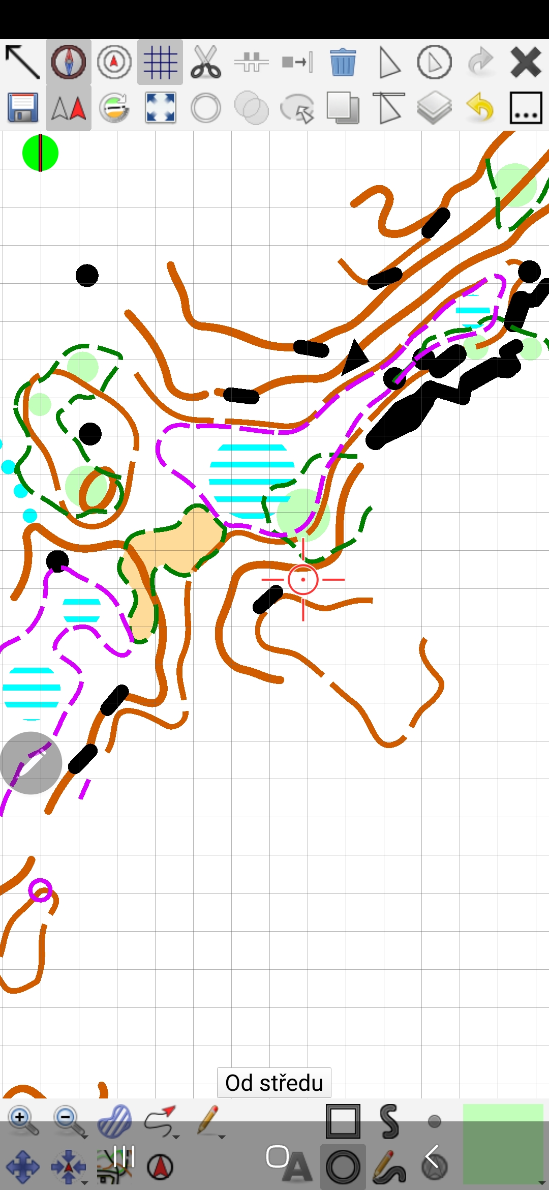
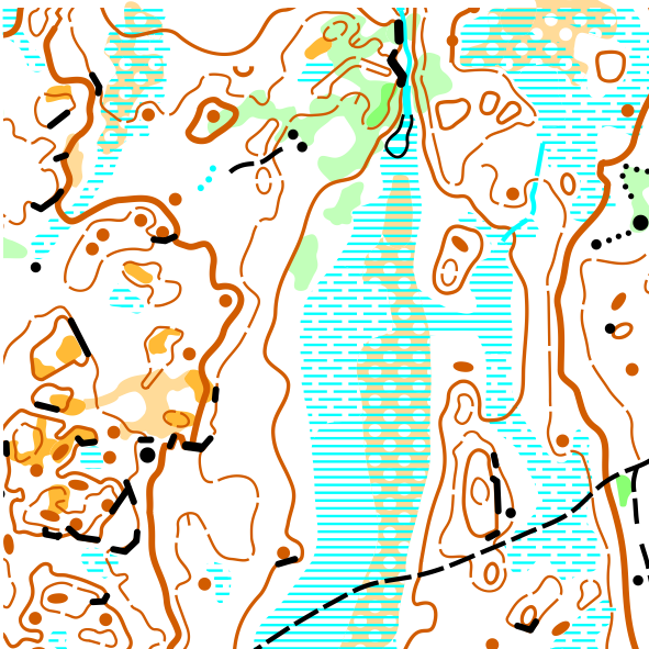
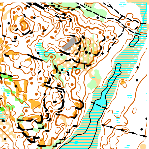
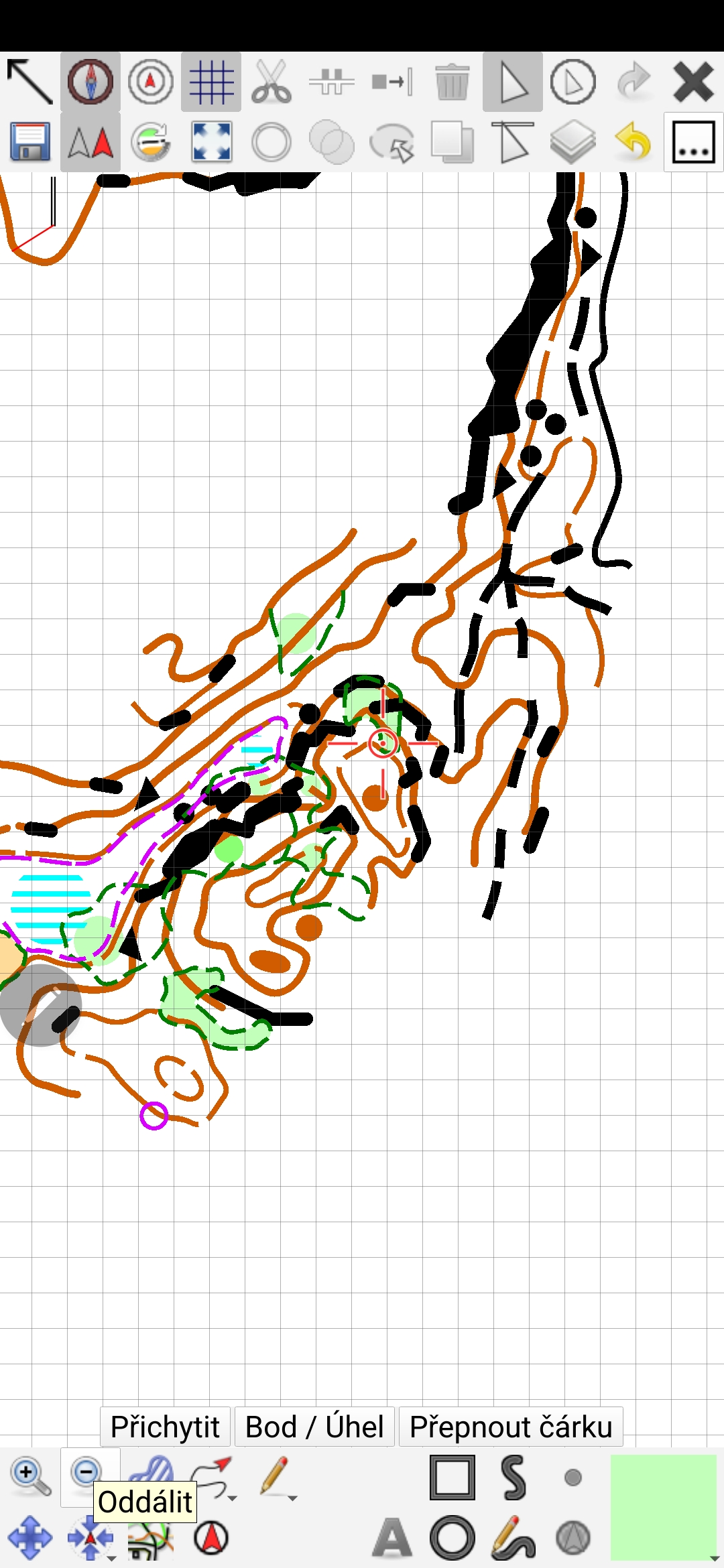
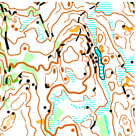
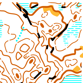
O-Ringen, Stage 1 on our map! A Czech cartographic trace at the world’s largest orienteering race. On Monday July 20, over 12,000 competitors set off from the start on my section of the map and continued through Radim and Christer to the finish. Thank you to Christer (Kartsam AB) and the organizers from Gothenburg for placing their trust in us and giving us this opportunity.
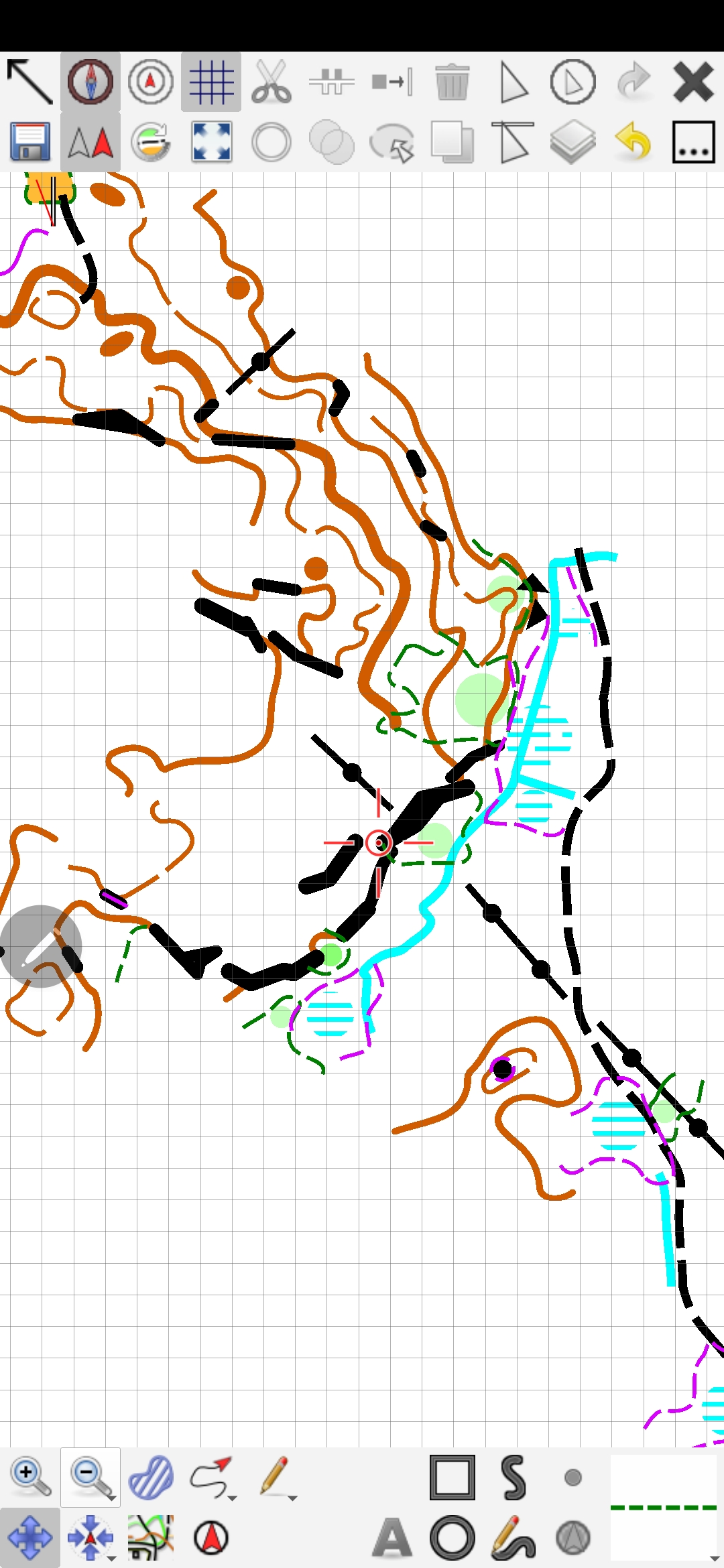
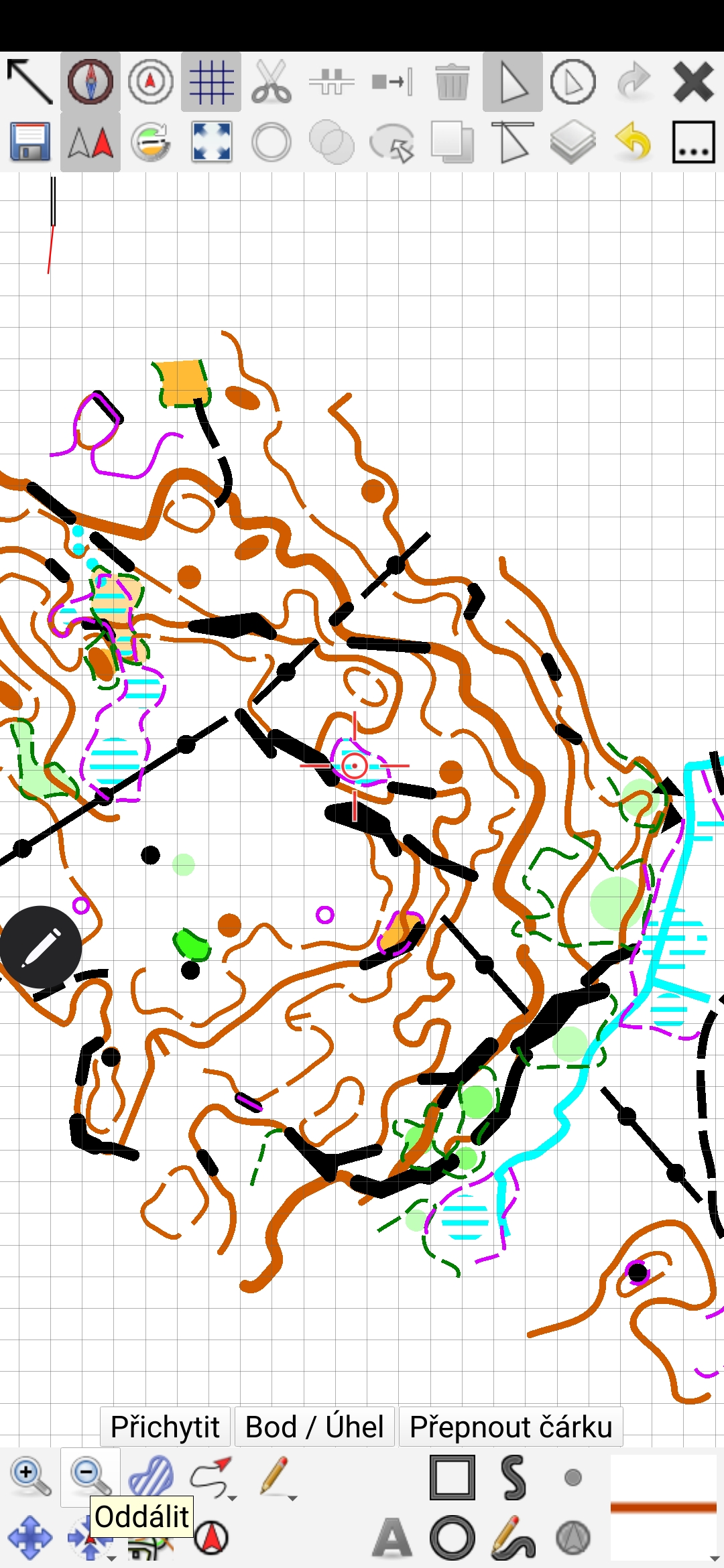
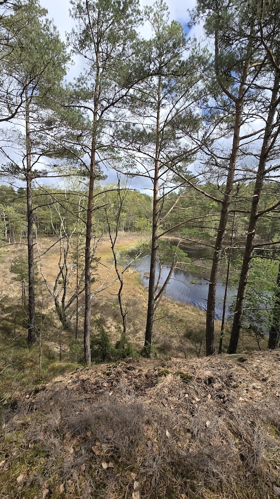
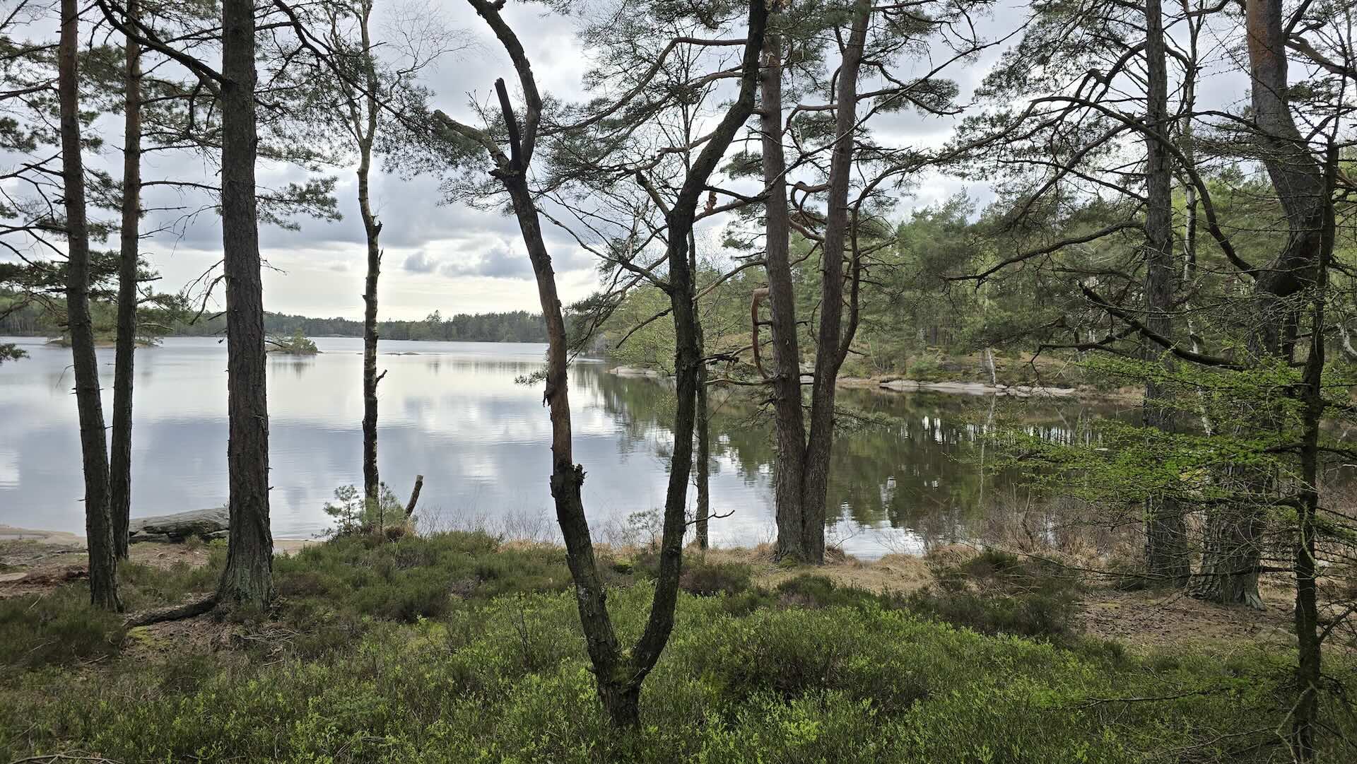
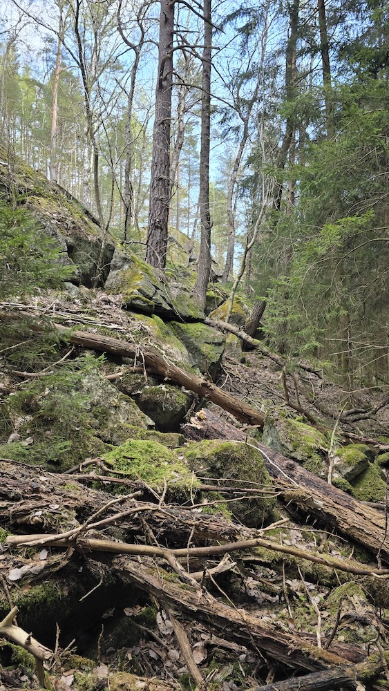
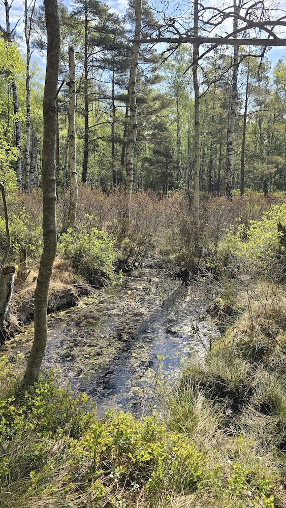
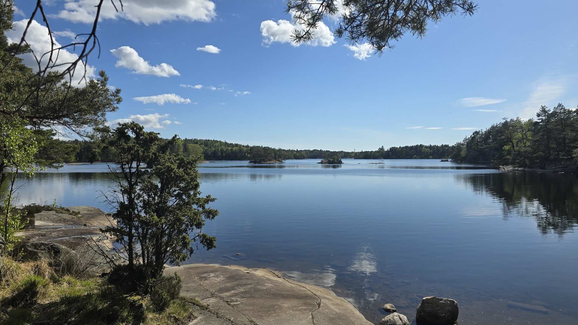
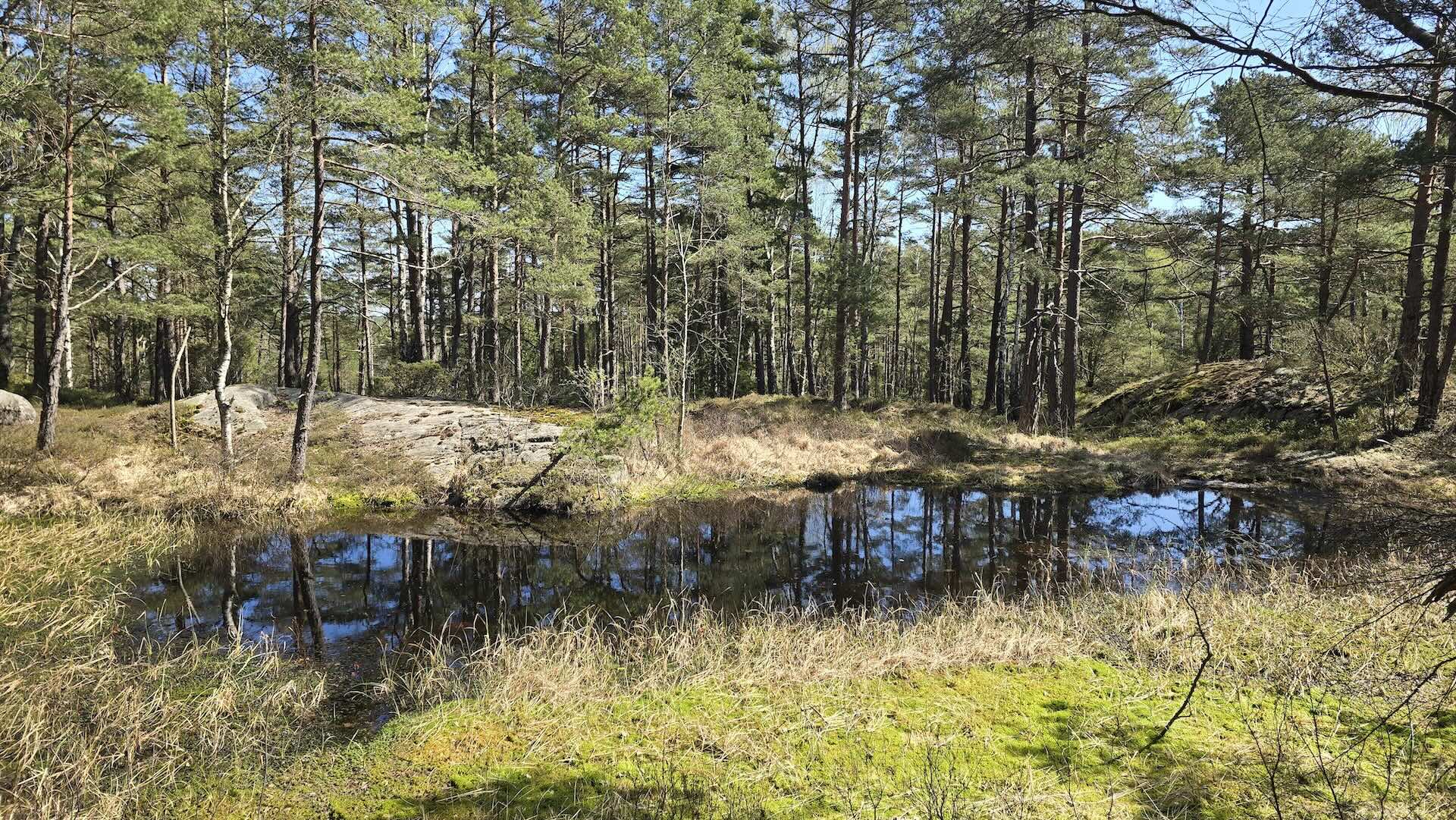
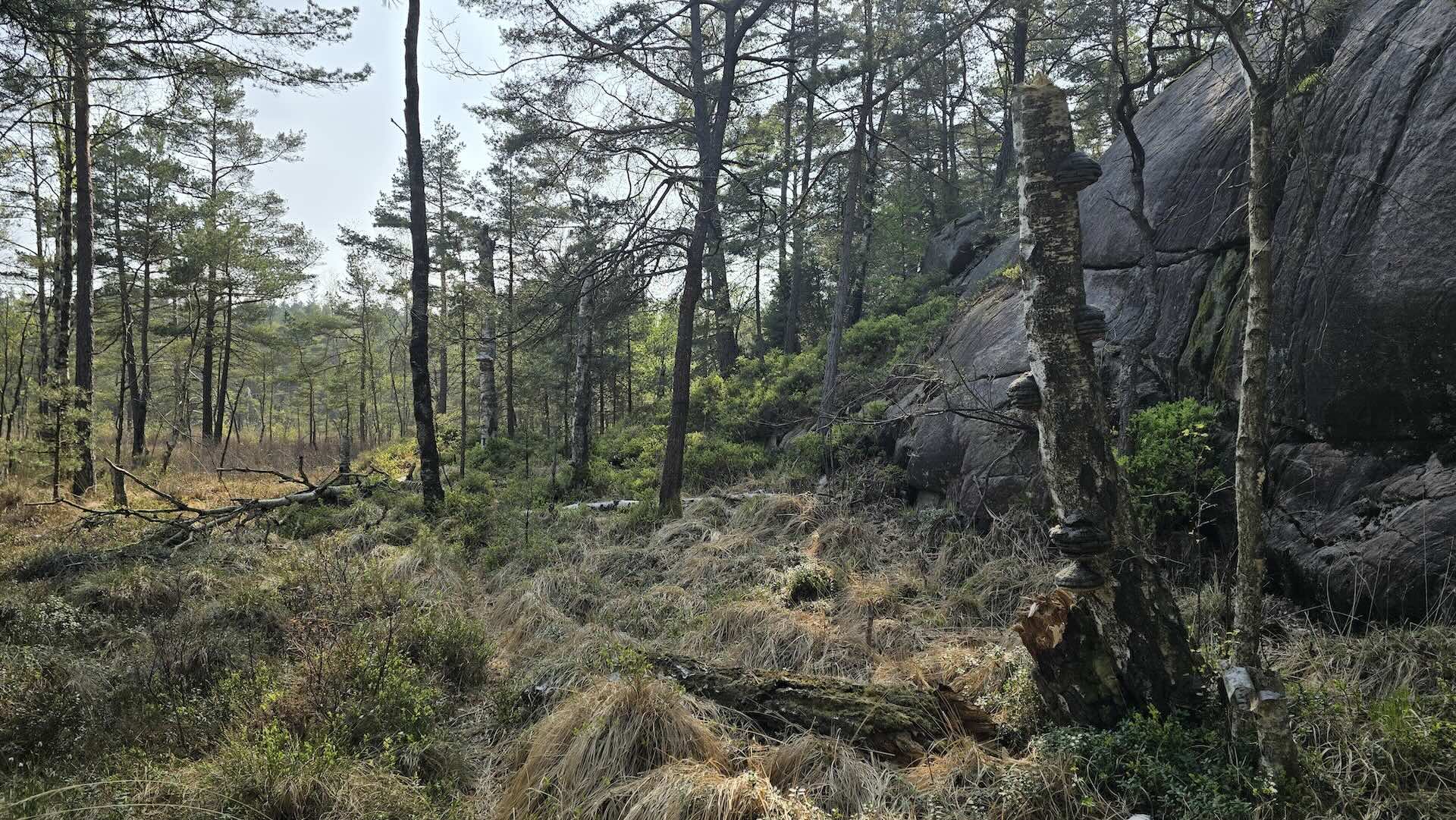
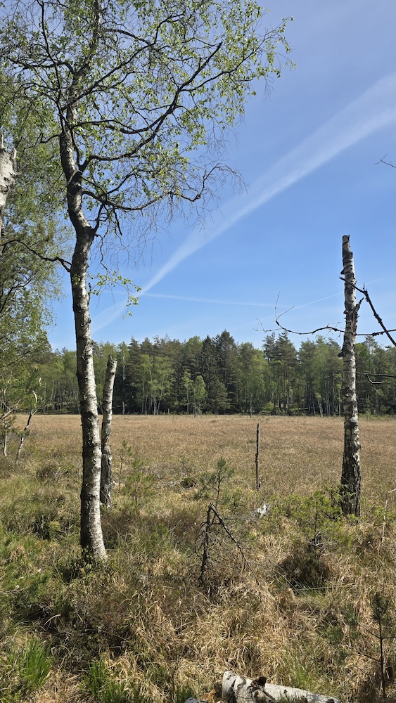
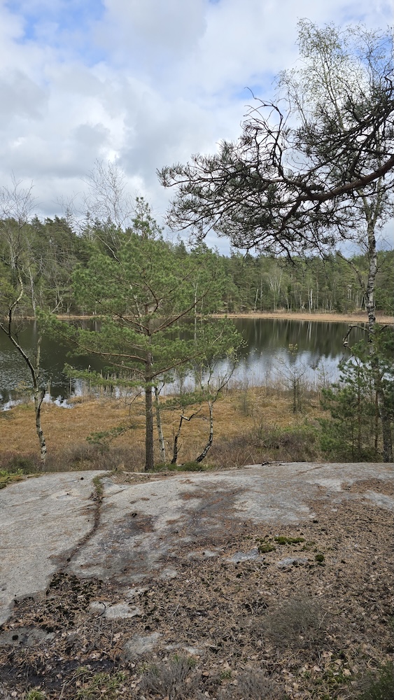
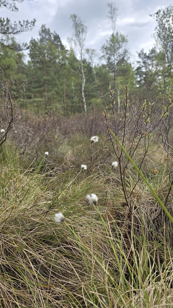
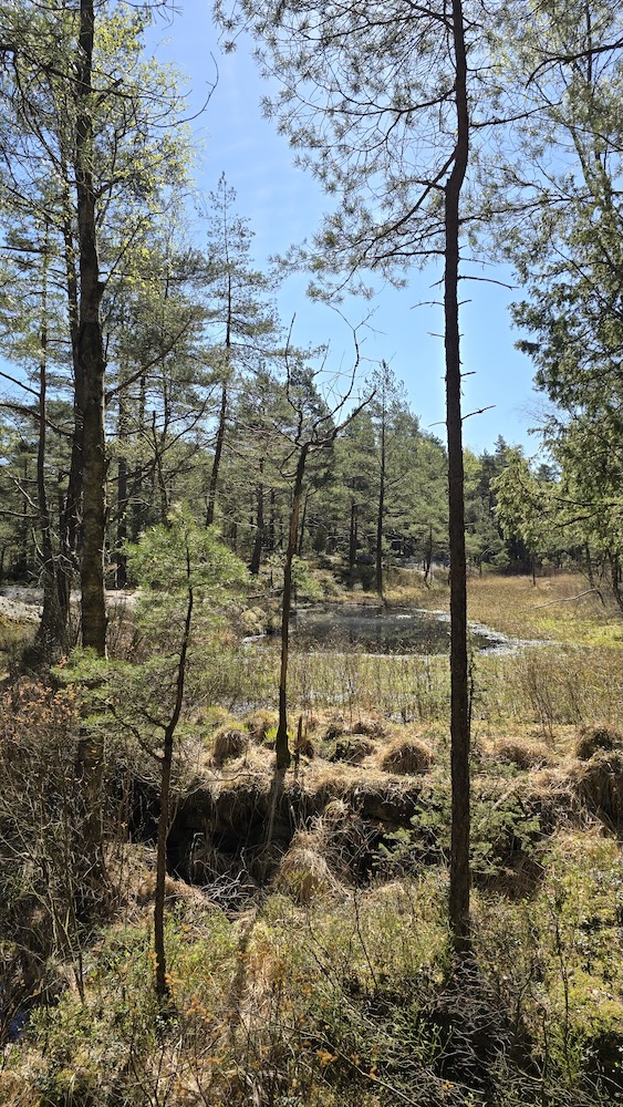
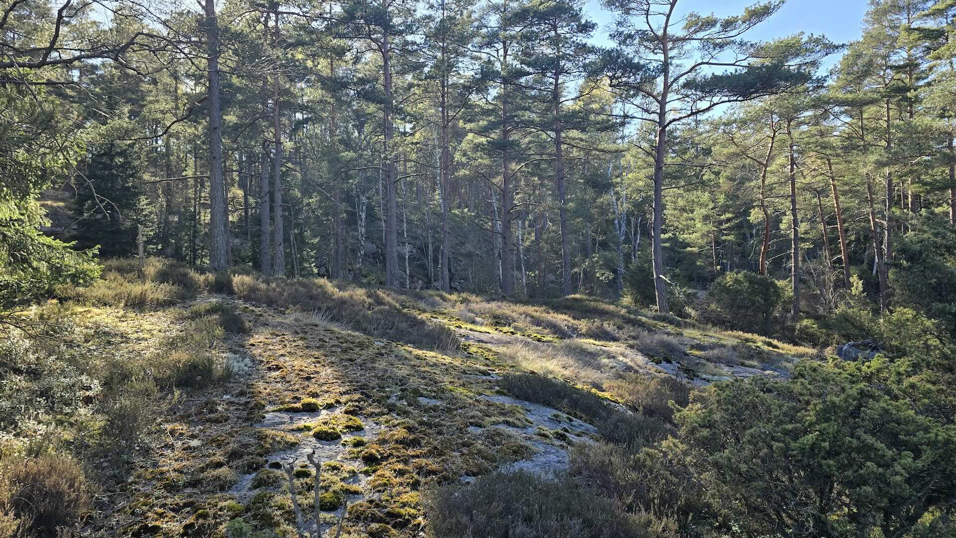
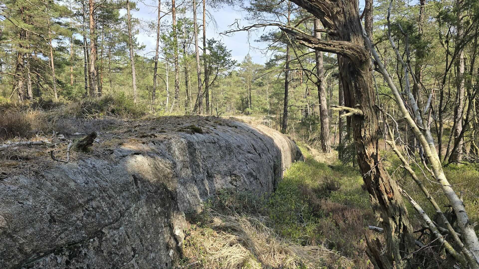
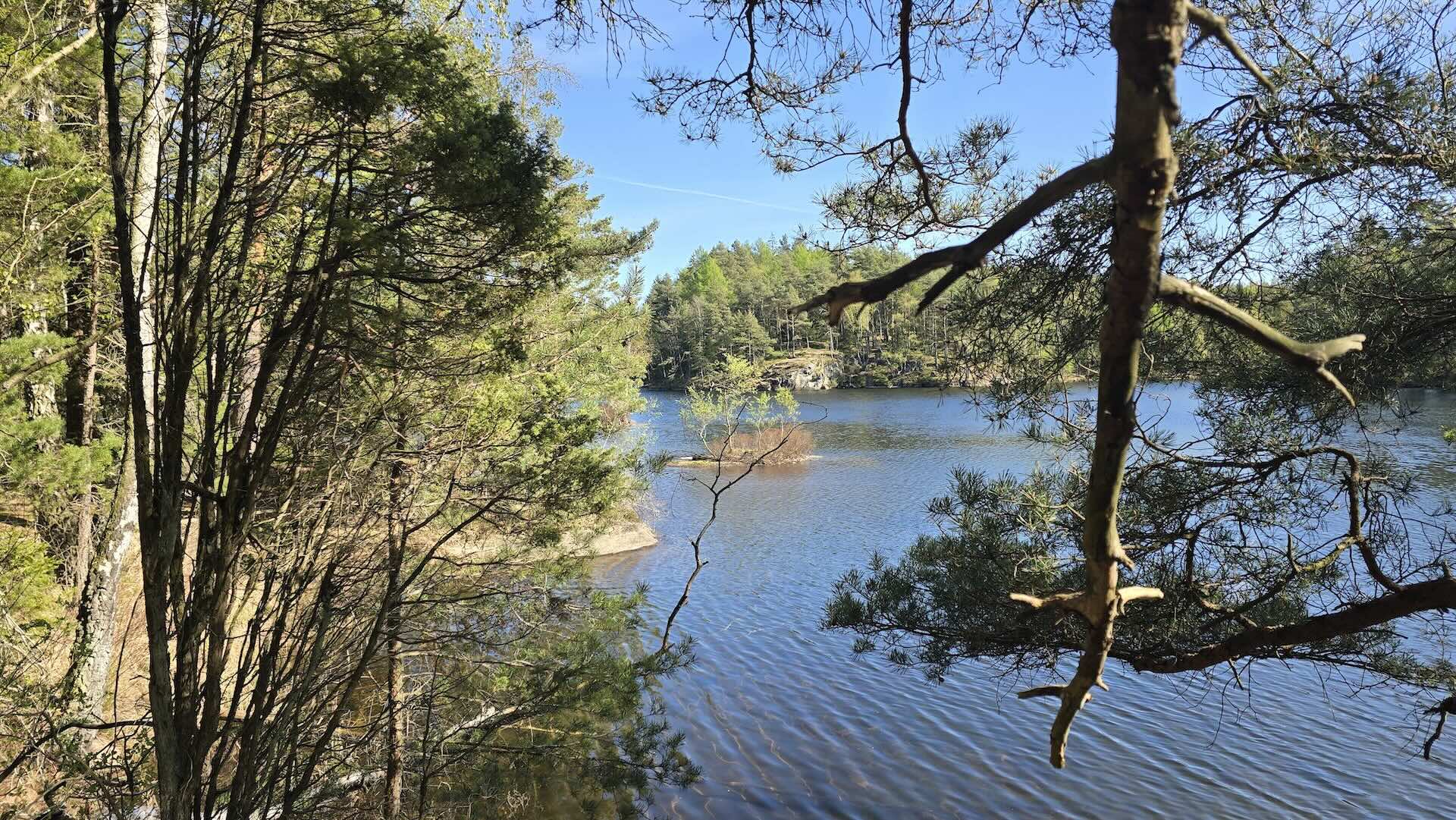
As a child, I dreamed of orienteering in Sweden and admired it immensely. Now we have laid out the map for O-Ringen. We mapped the area during April and May 2025. Then you wait quietly for 14 months to see what happens, and with bated breath, you watch on Livelox as the elite competitors race on your map. The terrain around Gothenburg is beautiful, and being able to map it was an amazing experience. I hope we can continue to create maps in the north. Mapping Czech terrain will certainly benefit from our Scandinavian experience as well.
Date